
The Proposals
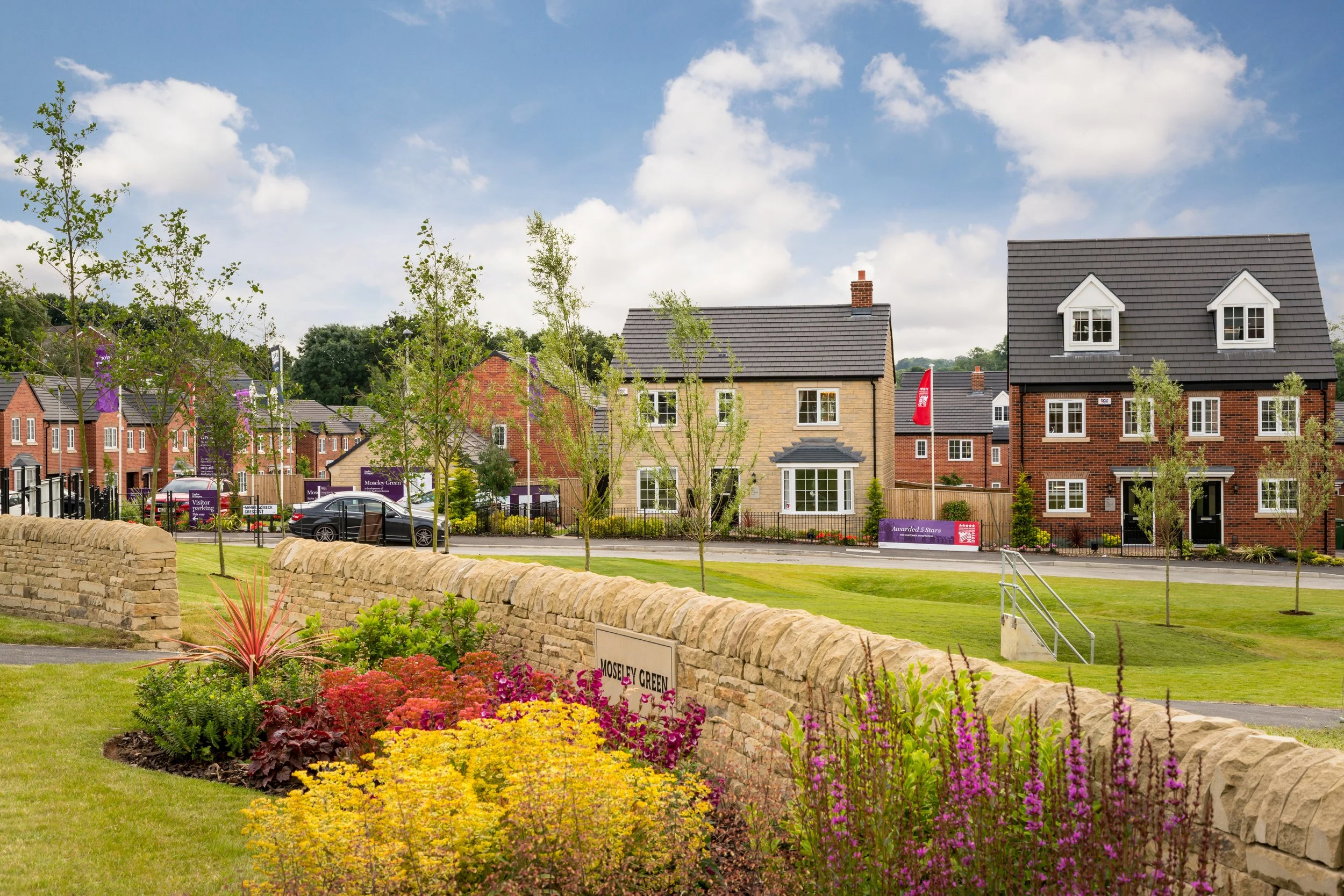
The vision for the site is to create a well-connected and carefully designed neighbourhood that responds positively to the character of Farnham. The proposals seek to combine new homes with green infrastructure, landscape-led design, public open space and improved pedestrian and cycle connections.
The proposals have evolved through technical assessment, stakeholder engagement and ongoing design analysis, whilst working within the established outline planning permission. Further information on the proposed layout, character and appearance, housing mix, landscape and ecology and access arrangements is provided below.
Layout
The emerging layout has been shaped by the site’s existing landscape structure, movement routes and topography.
The arrangement of homes, streets and open spaces has evolved in response to existing site constraints and opportunities, helping create a development that integrates naturally with the surrounding area. Existing trees, hedgerows and landscape corridors are intended to remain important features within the development framework and will help define development parcels and green edges across the site.
Green infrastructure forms a central part of the proposed layout. Areas of public open space, strategic planting, landscape buffers, sustainable drainage and biodiversity enhancements are intended to be integrated throughout the development rather than positioned as isolated spaces. The proposals also include a community orchard, play spaces and a network of pedestrian and cycle routes designed to improve connectivity and encourage active travel throughout the development.
The development has been designed to retain view corridors towards St Andrew’s Church while responding sensitively to the wider landscape setting and topography of the site.
Enlarge the site layout plan to explore the proposals.
site layout plan (click to enlarge)
Character and Materiality
Analysis of surrounding neighbourhoods has informed the creation of three distinct character areas on the site.
Rather than replicating a single architectural style, the development draws on a range of local influences to create a cohesive but varied neighbourhood. Enlarge the character areas plan to explore the character areas.
The proposed materials are expected to include red tonal brick and red multi brick, alongside selected areas of tile hanging, render and timber-style cladding. Roof materials are expected to include grey roof tiles and mottled red roof tiles, with details such as stone-effect cills, brick string courses, pitched canopies, window glazing bars and sash-style window details used in selected locations.
The Green Edge character area is influenced by Crondall Lane and the mature landscape around this part of the site. This area is intended to have a softer, greener feel, with homes set within a strong landscape framework. Simple building forms, varied rooflines and green boundary treatments are proposed to help the development respond to its edge-of-settlement setting.
The Parklands character area forms a transition between the greener edge of the site and the more structured Core Area. This part of the development is shaped by the central landscape corridor running through the site. The design uses red brick and tile hanging, with varied roof forms and detailing to create a balanced and attractive residential setting.
The Core Area forms the main approach into the development and is intended to have a slightly more structured residential character. Homes in this area are arranged to create a clear street scene, with brick as the main material and more detailed features used at key corners and junctions. The design draws on traditional Farnham features, while providing a clear identity for the new neighbourhood.
Enlarge the character areas detail imagery to explore the housing character and materials proposed.
Character area plan (Click to enlarge)
Green Edge (Click to enlarge)
Parklands (Click to enlarge)
Core Area (Click to enlarge)
Housing Mix
The proposals seek to provide a broad range of homes to integrate with existing communities and meet local need.
Considering local context and need, the proposals seek to provide a balanced residential environment with an emphasis on detached and semi-detached homes.
The housing mix has been designed to provide a range of homes suitable for different household sizes and stages of life. The proposed mix currently includes:
4 one-bedroom flats (5%);
4 one-bedroom maisonettes (5%);
6 two-bedroom bungalows (7%);
17 two-bedroom houses (20%);
1 three-bedroom bungalow (1%);
30 three-bedroom houses (36%);
18 four-bedroom houses (22%); and
3 five-bedroom houses (4%).
The proposals also include areas of single-storey dwellings in response to approved parameters and local character considerations. These areas are intended to help provide variation across the development while also responding sensitively to the site’s topography and surrounding landscape setting.
Affordable housing will be distributed across the site, constituting 30% affordable housing. The affordable housing proposals include a mix of Affordable Rent, Shared Ownership and First Homes. The homes are proposed to be tenure blind, ensuring affordable housing is fully integrated within the wider development through consistent architecture, materials and landscaping.
The homes are expected to take a fabric-first approach, helping reduce energy use through good insulation, high-performance glazing, airtightness and ventilation. The layout has also been designed to make good use of natural light where possible, with low-energy lighting, efficient appliances and low-water fittings expected as part of the detailed design.
Affordable housing plan (Click to enlarge)
Housing mix plan (Click to enlarge)
Landscape, Ecology and Open Space
The landscape setting and ecology enhancements are a core part of the proposals.
The layout has been shaped by the landscape from the start. New homes are proposed in the lower, more enclosed southern part of the site, away from the more visible north-eastern area. This approach is intended to help retain the rural character of the wider landscape and maintain openness in key public views and along existing Public Rights of Way.
A substantial part of the site would remain as open space, existing vegetation, landscape planting, Sustainable Urban Drainage Solutions (SUDs) and play areas. The proposals include informal open space, a community orchard, wildlife pond, species-rich grassland, wetland planting, scrub, tree planting and enhanced hedgerows. These features are designed to work together as a connected green infrastructure network, supporting recreation, biodiversity, sustainable drainage and the wider character of the development.
Existing trees, hedgerows and vegetation would be retained and protected wherever possible, with new tree planting and hedgerow planting proposed across the site. The landscape strategy also seeks to reinforce historic field patterns and strengthen existing tree belts and boundary hedgerows, helping the development sit more comfortably within Farnham’s rural edge.
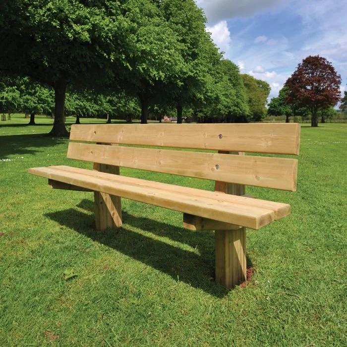
The proposals also include new spaces for play, informal recreation and community use. A Local Equipped Area for Play and Local Area for Play are proposed within accessible and overlooked parts of the site, alongside mown grass areas, seating, picnic tables and nature-based play features.
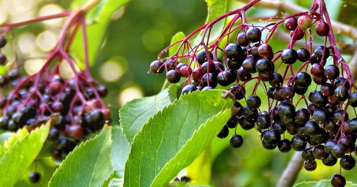
The community orchard would include a mix of fruit and nut trees, creating a space for local residents while also supporting biodiversity.
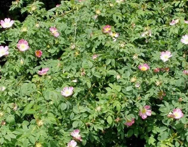
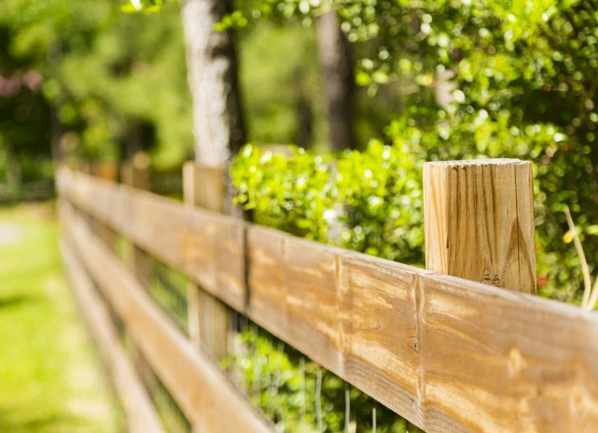
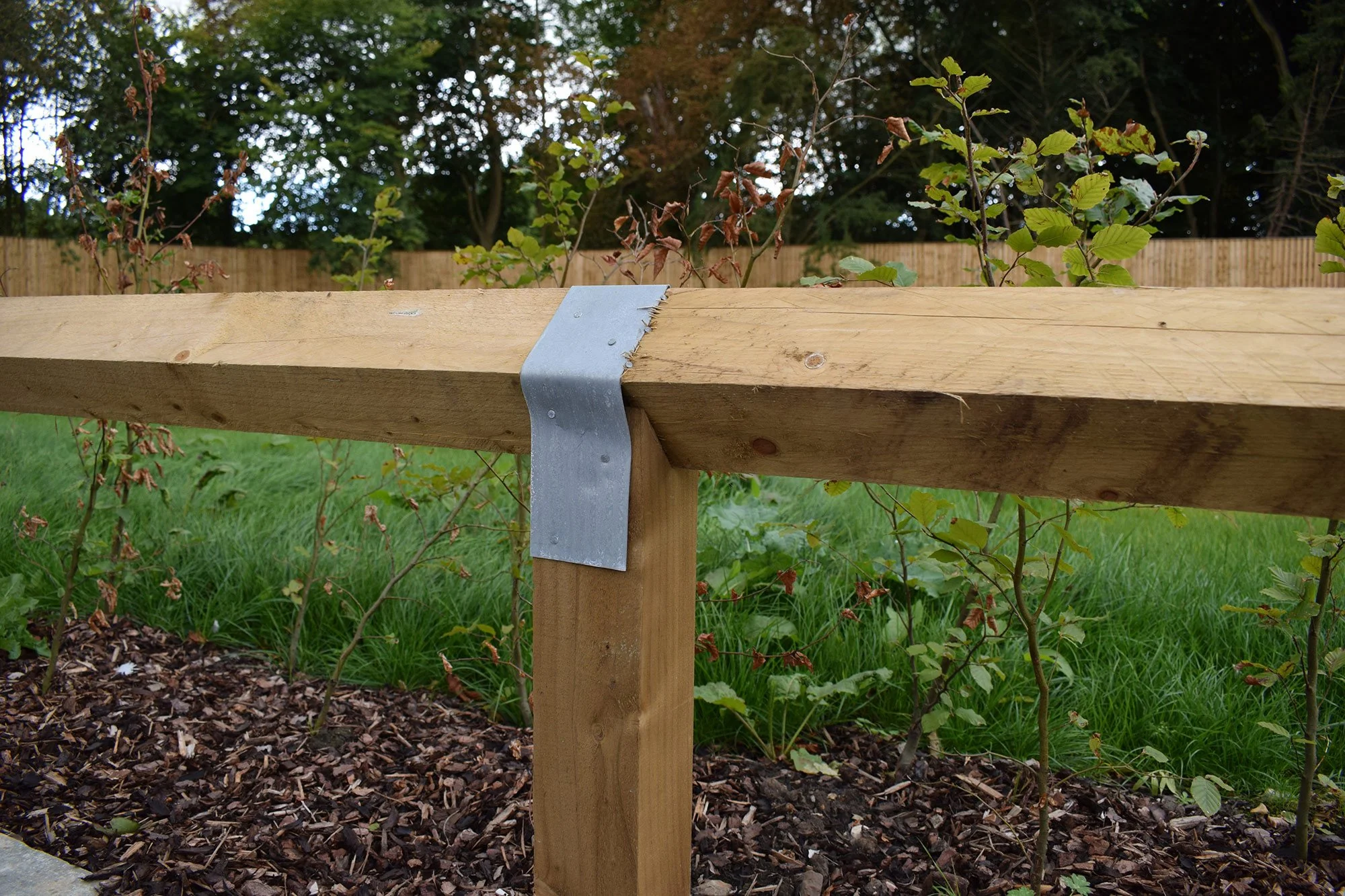
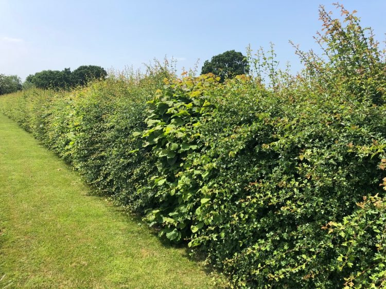
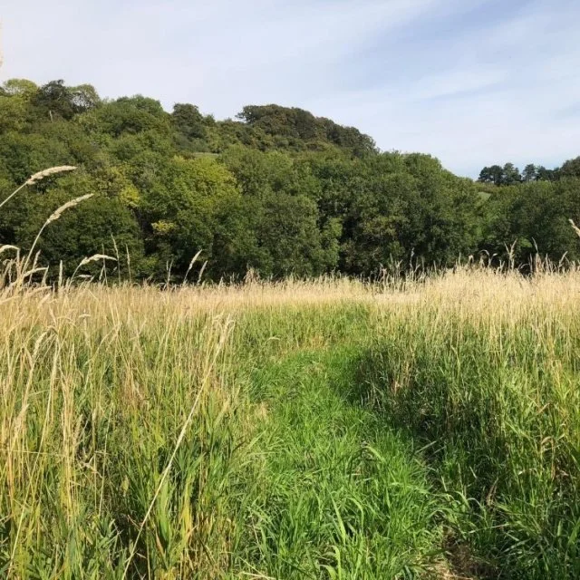
The planting strategy is expected to include a range of native species and landscape treatments. Enlarge and explore the landscape plan and precedent imagery to find out more.
Landscape Plan (Click to enlarge)
Native planting

Boundary treatment
Grasses & wildflower
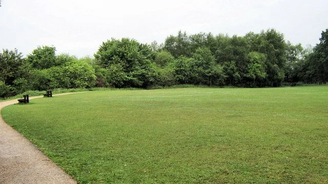
Open space hard landscaping
Access
The proposals seek to create a highly connected community where residents can access nearby services and facilities by walking, cycling and public transport.
Vehicular access to the site is proposed from Keepsake Close, located to the south of the development. From there, the main route would run through the centre of the site, with smaller residential streets, private drives and pedestrian routes connecting from it.
The street layout has been designed to avoid large areas of road or parking dominating the appearance of the neighbourhood. In places where homes front onto open space or landscape features, private drives are proposed to create a softer edge to the development and support the overall landscape-led design approach.
Pedestrian and cycle access points are proposed around the site, including connections to existing Public Rights of Way. These links are intended to help integrate the development with the wider footpath network and provide access to the proposed open spaces within the site.
The proposals also include pedestrian access to Falkner Road, helping connect the site with nearby local facilities and wider routes into Farnham.
Routes from the site provide access towards nearby destinations including Waitrose, Farnham High Street, Potter’s Gate C of E Primary School, Farnham Railway Station, the University for the Creative Arts and other local services.
Parking would be provided through a mix of garages, driveways, lay-bys and parking courts, with visitor parking distributed across the site. The approach has been designed to meet local standards while ensuring parking is convenient for residents and visitors and integrated into the street scene.
Cycle storage and bin storage would also be provided as part of the development. Homes would include space for refuse and recycling storage, with access to the street for collection. The street layout is being designed so that refuse vehicles can move through the development, with bin collection points provided where required.
The parking strategy currently includes 158 allocated spaces, 22 garages, 26 visitor spaces and 4 temporary sales area spaces, giving a total of 210 spaces distributed throughout the site.
Access and movement plan (Click to enlarge)